1863 JOHNSON’S ATLAS MAPS- U.S. STATES AND CITIES **$49**

$49

5 in stock


  • American Civil War Era
  • Single & Double sheet maps
  • Tinted
  • Condition A- to A+
  • C.O.A. Included

5 in stock

Description

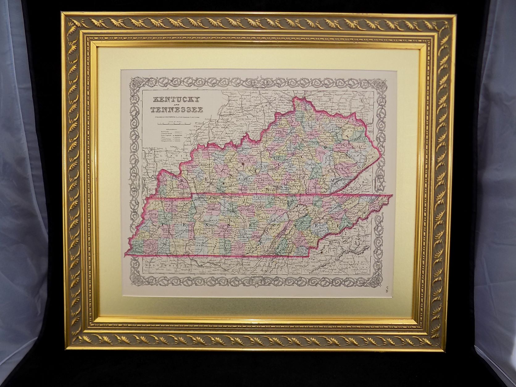
1863  Maps from Johnson’s Atlas- Authentic 160 year old American Civil War era Johnson’s Family Atlas maps and accompanying certificates of authenticity.

HOW TO ORDER:

1.) Select a map(s) from the list below.

2.) Add the quantity of maps you would like to purchase to you cart.

3.) Checkout as usual.

4.) VERY IMPORTANT ! You must contact us with your selection(s) after checkout. Please provide us with the name(s) of the map(s) that you just purchased.

5.) We will ship your order the following business day via USPS First Class Mail along with our Certificate of Authenticity for each map.

6.) We highly recommend framing your map for proper display and protection. An off the shelf frame may be used as long as the matting etc. is listed as “acid free”.

Single sheet maps measure approx. 18″ x 14″. Double sheet maps measure approx. 18″ x 26″. All are good to very good+ condition and display wonderfully.

CHOOSE FROM THE FOLLOWING:

ALABAMA & GEORGIA –  double sheet **MAP IS SOLD **

IOWA & NEBRASKA- single sheet

INDIANA & OHIO- double sheet

MINNESOTA AND DAKOTA- single sheet **MAP IS SOLD **

NORTH & SOUTH CAROLINA- double sheet

NEW YORK-  double sheet **MAP IS SOLD ** 

RICHMOND- double sheet

VERMONT & NEW HAMPSHIRE- double sheet


Atlas cover and title page are not included and pictured for date and authenticity purpose only.


Additional information

Weight 14 oz
Dimensions 20 × 16 × 1 in

Reviews

There are no reviews yet.

Be the first to review “1863 JOHNSON’S ATLAS MAPS- U.S. STATES AND CITIES **$49**”

Your email address will not be published. Required fields are marked *

Title

Go to Top